When to go to the Torres del Paine National Park
The best time is from November to April. Do not forget that in the southern hemisphere the seasons are the opposite. Therefore, when in the northern hemisphere is winter, in Chile is summer.
Weather forecast can be found here. Although the weather in the mountains is unpredictable. The park is windy, it happens that wind knocks down, so the weather changes every hour.
Getting to Torres del Paine National Park
The nearest airport is in Punta Arenas. From Santiago there are daily flights. We flew with the largest airline LATAM, bought tickets 4 months in advance (~$160 for return ticket), but you can also check prices of the lowcost Sky Airline.
By car
At the airport we took 4x4 automatic Subaru Forester ($316 for three days + $55 insurance). Check expedia, there were the cheapest prices.
After that we went to Punta Arenas and bought food for three days. The nearest large supermarket Hyper Lider is here S 53 07.870 W 70 54.646.
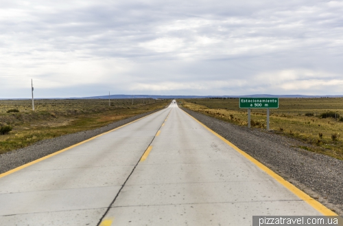
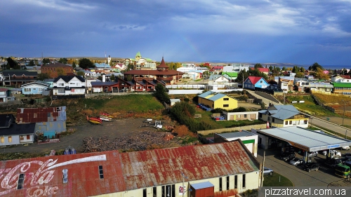
Further, your path lies in the city of Puerto Natales, the nearest settlement to the park. The 250 km road is almost empty. Look around, there will be different animals and birds, including pink flamingos.
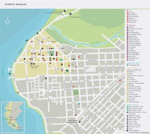
There are no petrol stations in Torres del Paine, so fill the full tank in Puerto Natales (S 51 43.454 W 72 30.639). There is also a big supermarket Unimarc (S 51 43.605 W 72 30.034), in case you did not buy food in Punta Arenas. The location of other objects is shown on the map.
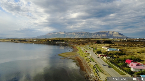
Waterfront near the gas station is beautiful, here you can relax before going to the park.
There are few entrances to the park. We went to the entrance of Rio Serrano (3 on the map, S 51 13.045 W 72 58.242), it is 84 kilometers from Puerto Natales. The distance is not so great, so you can even sleep in Puerto Natales.
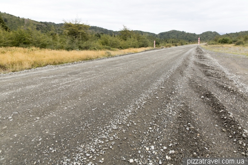
At this point S 51 35.663 W 72 31.869 you have to turn onto the dirt road.
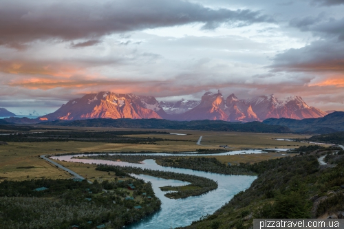
If you have time, you can visit the Milodon cave (S 51 34.104 W 72 37.149). A little before reaching the entrance to the park there will be a turn to the village of Rio Serrano (S 51 13.191 W 72 57.921), where we lived. Above the village there is a viewpoint, which you will pass. It makes sense to get there at sunrise or sunset, when the sun illuminates the rocks of Cuernos del Paine.
By public transport
From Punta Arenas Airport, you can reach Puerto Natales ($13) by buses of Bus Sur or Buses Fernandez. Bus Sur travels from Puerto Natales to the Torres del Paine park ($14, buy return tickets in Puerto Natales). Buses come to the entrance of Laguna Amarga (4 on the map). From the entrance continue on the minibus to Hotel Las Torres ($4, 7 on the map), this is the beginning of the track to the Torres.
Where to sleep in the Torres del Paine National Park
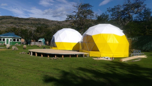
The main problem in the park is finding a hotel. The fact is that there are only a dozen hotels here and they are very expensive. To understand the scale of the problem: spending the night in this tent costs... $200 (2017).
If you come by bus and want to visit the Torres, then the choice is minimal: either Hotel Las Torres Patagonia for 2500 EUR (booking.com) or Refugio Chileno or Torres camping on the way to the Torres, but they are not very cheap.
If you come by car, then you can spend the night in different places, even outside the park. Initially, we planned to stay at the Hosteria Pehoe (booking.com), which has the most picturesque location. But if was booked for many months ahead.
Due to the lack of housing in Torres del Paine we even had to completely re-plan the route. Accomodation was found in the small village of Rio Serrano which is actively developing.
We were lucky and booked a bungalow with kitchen Cabañas Lago Tyndall (booking.com). The kitchen is important, as there are no shops in the park, there are only a couple of stalls. You can eat in a few very expensive restaurants or bring something with you. The house can be seen on this photo. The building with a black roof is the hotel Lago Tyndall, which ownes the houses.
What to see in the Torres del Paine National Park
The most popular types of recreation are the following:
1. Track to Torres (1-2 days, 7-8 on the map), a part of a W-track
2. W-track (5 days of hiking, 7-8-9-10 on the map, if you are interested, check information here)
3. A boat on Lake Grey to the Grey glacier (12 on the map)
4. Hiking to the Grey glacier (10 on the map). You can reach it in 4 hours from Refugio Paine Grande. And here we go by boat on Lake Pehoe from Refugio Pudeto. The ship goes at 9, 12 and 16 hours, $40 for return ticket and you can not buy in advance. Near the glacier you can spend the night in Refugio Grey. This tour is also the part of the W-track.
We were only interested in visiting the Torres, this is the main thing you need to see in the park. Given the changeable weather, we came for two full days.
The next day the weather was expected to be excellent. Full of hope and expectation we left our house before dawn. At that time, we did not know that this day will be one of the most memorable and at the same time the most difficult in our 11-year tourist career.
Since we lived outside the park, we bought tickets at the Rio Serrano checkpoint. When we got there (google.maps), it was still dark and everything was closed. So, we had to woke the girl-ranger and bought tickets. Tickets are valid for three days (in 2017). When we left the building an owl was sitting on our car, that was funny.
We drove on, it was already dawn and on the road we noticed hares (near this location S 51 11.620 W 72 58.363). One, two, dozens! There were so many hares that we were afraid to kill them. It is curious that in the afternoon we did not see them there, only in the morning.
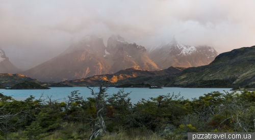
Arrived at Lake Pehoe and left the car here S 51 06.369 W 72 59.111. From this point you can see Cuernos del Paine. In the red light they are especially beautiful. But the clouds were still too low at that moment.
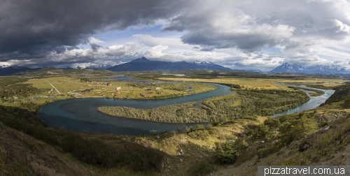
Therefore, we went to the viewpoint Mirador Condor (5 on the map). See the route here, the distance is about 1.5 km in one direction and the difference in altitudes is 229 meters. The climb turned out to be a bit difficult since on the top was an unreal wind. From the top we saw probably the most beautiful view of the Torres del Paine National Park.
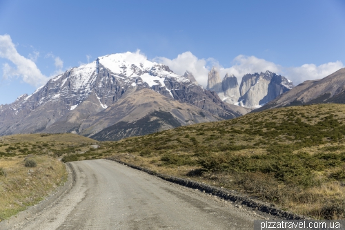
Went down and continued to the parking lot near the beginning of the track to Torres (S 50 57.904 W 72 51.764). There is a modern tourist center, you can buy souvenirs and snacks. From the road the Torres peaks are already visible and it seems that they are very close.
It's worth saying that we absolutely did not prepare for this track, we only knew that it is very popular. So, we took sandwiches, water and began the ascent at 11am. Water, by the way, can be found along the way, so do not take too much with you.
Track to the Torres is about 10 kilometers (route map), the total climb is approximately 1400 meters, which is quite a lot. In the middle of the road there will be the Refugio Chileno camping. There we rested and ate a hot soup.
The last kilometer is a continuous climb among the huge boulders, a complicated place. Right before the ascent there is a Torres camping. It is free, but only for tents, no rooms. You can book at the Laguna Amarga entrance. If you want to see torres at dawn in red light, then you have to spend the night in one of the campings. Although, the prices are very high!
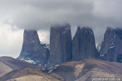
At the end of the route you will see the most famous view of the park and the whole Patagonia.
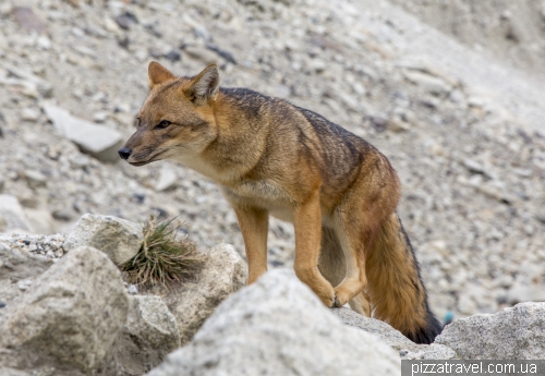
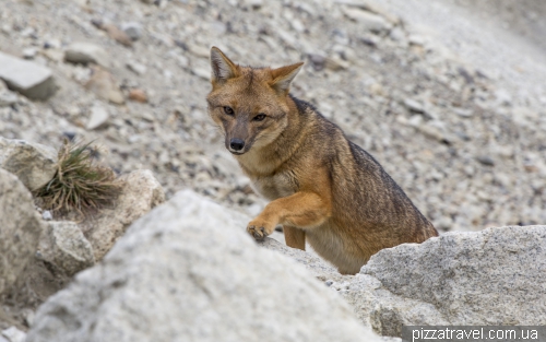
While we were resting, the fox came.
It is worth saying that already at this point we are pretty tired, and still had to go back in the car and drive 55 kilometers to the hotel on unpaved roads.
At 10 pm we were near the tourist information center, so the hike took us about 11 hours. Very, very tired. During the day we had walked 33 kilometers with a total ascent of about 1700 meters.
Although next morning everything was ok.
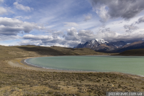
On the second day the weather was worse, so we did not plan anything, just drove around the park and saw beautiful views. Went to the furthest corner - Laguna Azul lake (6 on the map, S 50 52.375 W 72 44.328). From there opens an alternative view of the Torres.
Saw a lot of birds on the beach.
And we visited the waterfall Salto Grande (parking S 51 03.905 W 72 59.843).
Summary: Torres del Paine National Park is one of the places that you must see at least once in your lifetime.

